Geography: Display a geographic map
The Geo mode switch is available in the lower righthand corner of the Workspace. We can enable and disable the geo mode at will to switch between the standard "network" view and the geographic view.
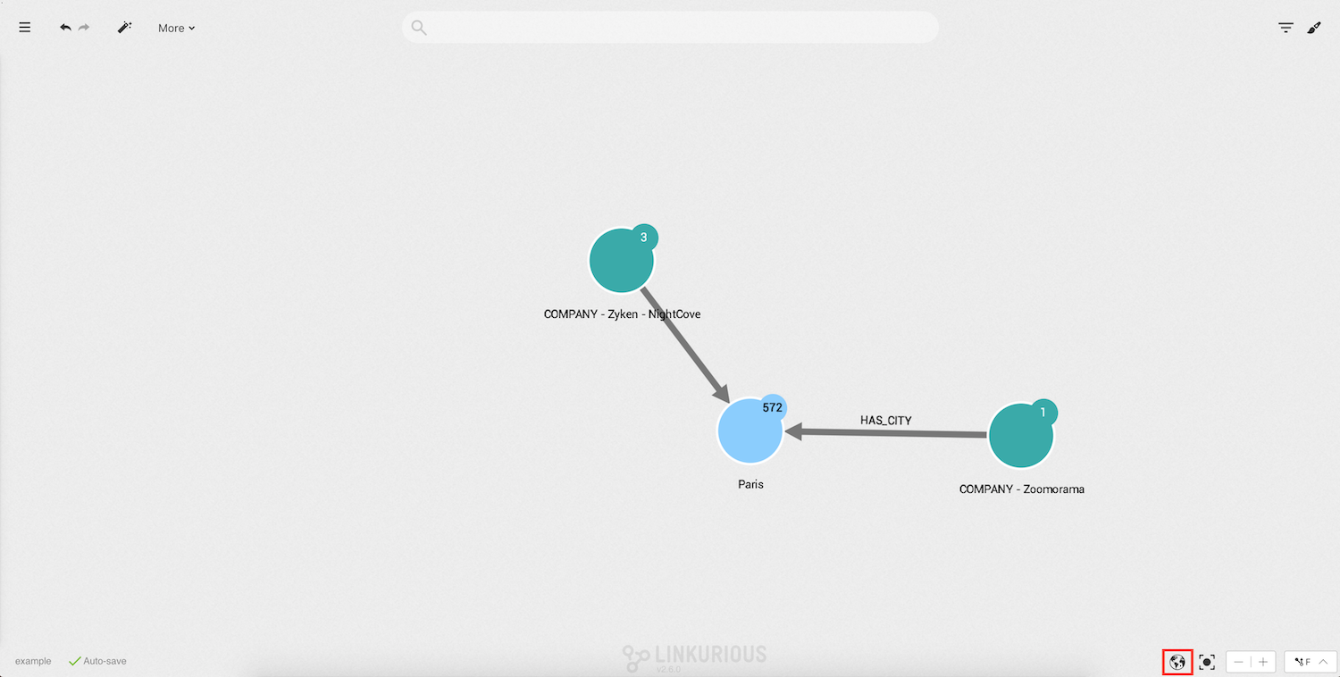
Click on it to display the geographical map. Nodes are positioned on the map according to their geographic coordinates. Other nodes present in the visualization can be hidden by the "geo coordinates" filter.
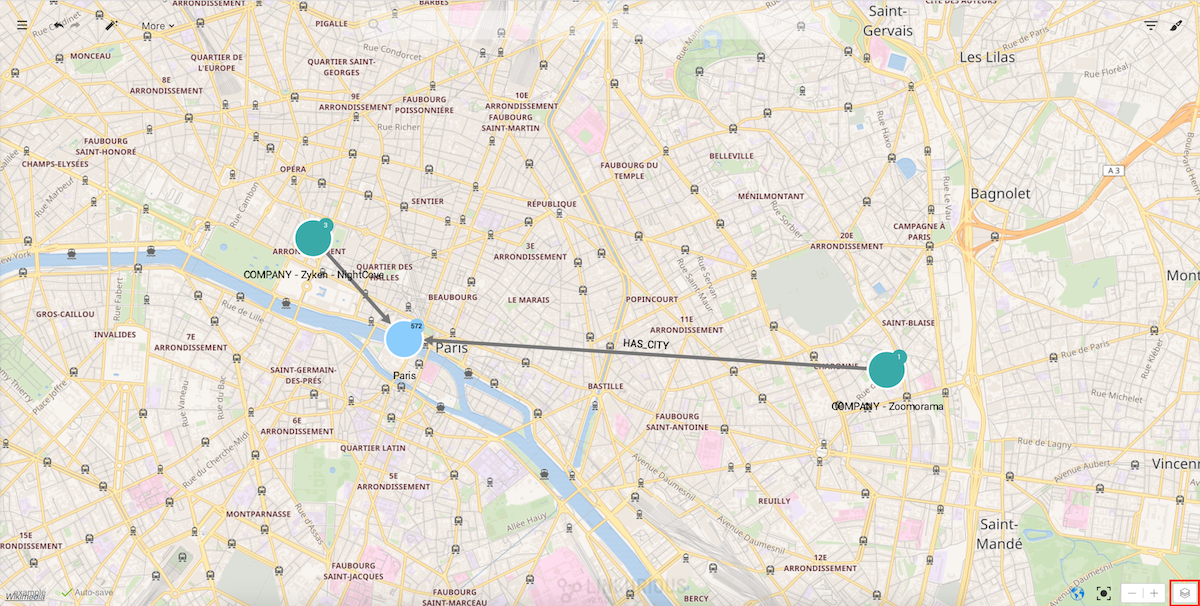
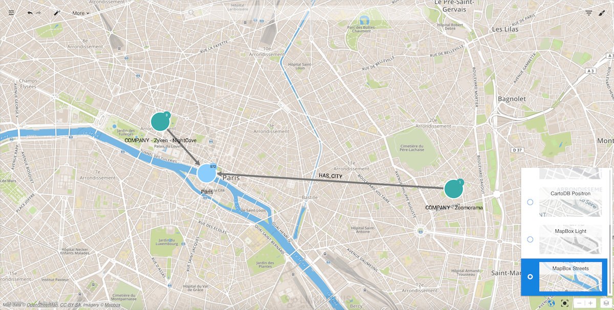
Linkurious Enterprise includes some different layers that can be selected by clicking on the layer button in the lower
righthand corner of the screen.
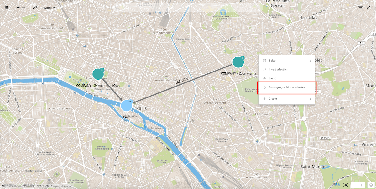
We can zoom in and out, drag nodes on the map to improve readability, select nodes and edges, etc. If we want to move the nodes to their original position we can always reset their coordinates by right-clicking on the background:
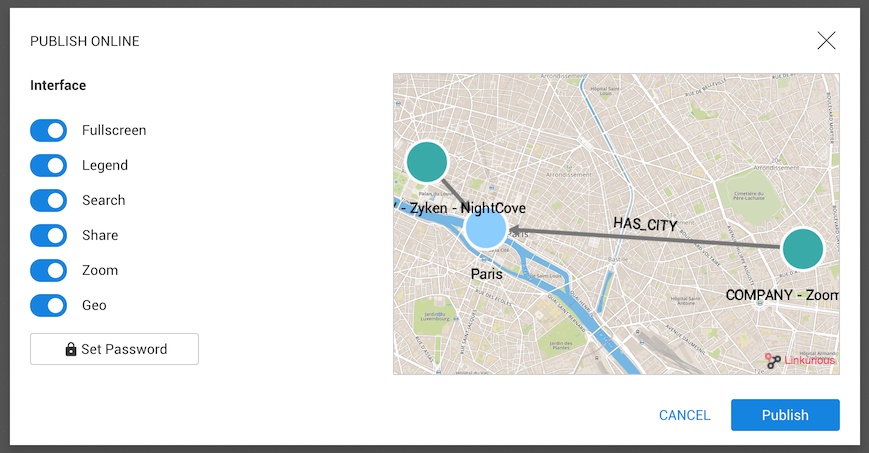
Finally, we can publish an interactive widget from Workspace menu > Publish with the geographical layers.